- Fuzhou Hengyu International A509
Fuzhou, Fujian, China
Challenge
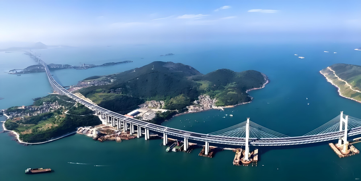
The Pingtan Straits Rail-cum-Road Bridge is a cross-sea passage with a total length of 16.323 km, including an 11.15 km sea-crossing section. The upper deck is a two-way six-lane expressway (100 km/h design speed), while the lower deck is a double-track railway (200 km/h design speed). Monitoring such a complex dual-purpose structure in open sea conditions requires robust multi-method validation.
Solution
Deployed comprehensive InSAR monitoring combining SAR intensity mapping, deformation rate analysis, and thermal expansion coefficient measurement. Multiple InSAR processing methods were applied and cross-validated to ensure reliability of results in the challenging maritime environment.
Result
Multi-method comparison validated deformation results across the entire bridge. SAR intensity maps, deformation rate maps, and thermal expansion coefficient maps were generated. Time-series analysis at characteristic points confirmed the consistency of our InSAR techniques against alternative methods.
Scientific Results
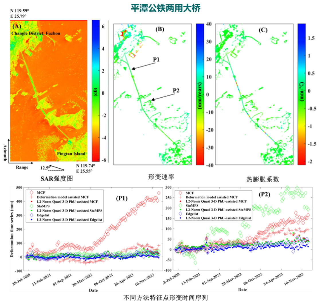
Figure 1: Panel A: SAR intensity map. Panel B: Deformation rate map. Panel C: Thermal expansion coefficient map. Bottom: Multi-method time-series comparison at monitoring points P1 and P2, validating consistency across different InSAR processing techniques.
Want to Apply This to Your Project?
Download our complete guide with 4 bridge case studies, technical methodology, and implementation roadmap.
Download Free GuideRelated Publication
Pingtan Straits Bridge InSAR Monitoring Study
Apply This Technology to Your Project
Get Free PilotCollaborate for a Precise Future!
Choose professional InSAR solutions to safeguard critical assets!
Address
Fuzhou, China 350000
Hengyu International A509
Contact
+86 136-7501-4214
contact@deepinsar.com
Contact Form
We respond promptly to every inquiry.